.jpg)
It has been over a year now since I took the plunge into car-free existence. After too many parking tickets, a broken transmission, smashed windows, and hours looking for parking, I decided that I could make do with my legs, my bike, and the Bay Area’s public transportation network. The one-way, overnight backpack trip up and over Mount Diablo that I took last fall is one example of the kind of adventure I have been enjoying since I said good-bye to my car.
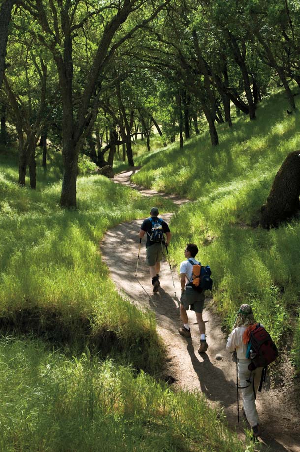
I meet my friend Jereme at the Walnut Creek BART station on Friday afternoon after a ride across the Bay from San Francisco’s Mission District. After a short stroll on sidewalk through a residential area, we hit the Kovar Trail at Howe Homestead Park and begin ascending Joaquin Ridge into Shell Ridge Open Space, with views of rolling hills dotted with oak trees on one side and the urban sprawl of Contra Costa on the other. It’s a moderate, steady climb up the Briones-Mount Diablo Regional Trail on our way across the western flank of the mountain.

- Hikers on the Trail at Shell Ridge Open Space. Photo by Scott Hein, heinphoto.com.
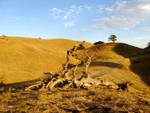
Soon the urban views disappear and we’re in Diablo Foothills Regional Park, passing through a sea of golden grasslands along-side manzanita-filled chaparral and the impressive rock feature known as the China Wall; hard to believe I had left the urban streets of the Mission just a few hours ago.
It’s not long before we’re catching glimpses of the fiery sunset behind us. We pick up the pace and arrive at Wildcat campground via the BBQ Terrace Trail, set up our sleeping bags, and kick back to watch the blazing sky fade to twilight, with the crest of Diablo looming behind us.
Early Saturday morning we tackle the summit trail. The previous day’s laid-back ascent turns into a heart-pumping climb. Within two miles we’ve gained 1,100 feet and are rewarded with breathtaking vistas, from Mount Tamalpais and the city in the west to the faint outline of the snowcapped Sierra Nevada in the east.
We stop for a few photos and a snack before the brisk fall breeze encourages us to get moving. Without a parked car waiting for us back in Walnut Creek, we’re free to make our way down the north side, enjoying new trails and scenery. We snake our way down the North Peak Trail, traverse the length of Meridian Ridge, and head down the heart of Donner Canyon on our way to the outskirts of Clayton. Near the trailhead, with the suburbs already in view, we are reminded of the wildness around us when we encounter a tarantula on the trail, out looking for a mate. We stop to watch it for a moment, take a photo, and then walk the final stretch to the CC110 bus stop on the outskirts of town. Ten minutes later we’re on our way to the Concord BART station, on the final leg of our two-day, car-free escape from the city.
Note: As of April 2009, the CC110 will no longer run on weekends.
-300x221.jpg)