Q: Which spot in the Bay Area gets the most yearly average rainfall and which spot gets the least? Why? [Diane, Bolinas]
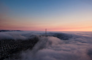
A: Nearly all the precipitation we receive comes between November and April in the form of rain from moisture-bearing clouds off the Pacific. The Bay Area is well known for its many microclimates. Folks at the beach are freezing as the fog lingers in San Francisco’s Sunset District while others are sweltering in the bright sun in Livermore. The distribution and amount of rain is similarly all over the proverbial map.
At the Point Reyes Lighthouse, sticking way out into the ocean, you might expect rain to be plentiful. Wrong. Average annual rainfall there is only 15 inches. As storm clouds move inland and begin to rise over the coastal mountains, the air cools. When air cools, it can’t hold as much moisture, so the water falls as rain. This is known as orographic precipitation, and it means that Kentfield (25 miles east of the light-house) gets 48 inches of rain per year from the same storms. Once all that rain comes down, there’s not much left on the other side of the Coast Range, where rain shadows leave cities like San Jose with only 16 to 20 inches of rain. The bottom line is that Mount Tamalpais and the Santa Cruz Mountains may get more than 45 inches, Petaluma and San Francisco 23 inches, and Livermore and Tracy 15 or fewer. Those differences are compounded by a statewide gradient of decreasing rainfall from north to south, since most storms come from the northern Pacific and shed water as they move south.


