This article is part of a monthly series of photos and articles on the transformation of Mount Diablo following the 2013 Morgan Fire, funded by special donations from Bay Nature readers. You can find our stories, as well as event listings, iNaturalist sightings, and magazine features, at baynature.org/diablo.
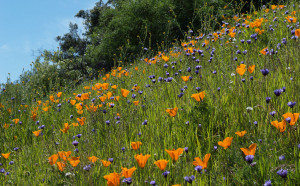
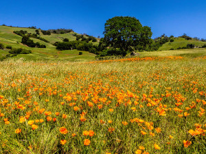
ne way to check out the 2013 Morgan fire is to tromp around on Mount Diablo’s trails. Then there’s another option: check out satellite photos of the burn area just posted to Google Earth. Taken in February 2014—springtime on the mountain—these photos show bare grassland, forest, and chaparral slopes with a greenish tinge.
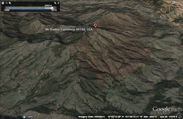
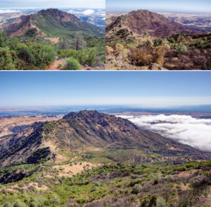
The Extent of the Fire | The Morgan Fire burned 3,100 acres of forest, grassland, and chaparral on the southern and eastern slopes of Mount Diablo and North Peak.
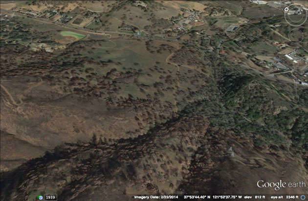
Perkins Canyon | The fire started on a private property next to the state park boundary, visible on the upper left with the green mercury-mine tailings pond. Marsh Creek Road stretches across the upper third of the photo. Perkins Canyon lies in the green valley in the righthand third of the photo. On the lower left are the burned slopes of North Peak. The meadow to the right of the tailings pond was also burned, but by February when this photo was taken, green grass had emerged.
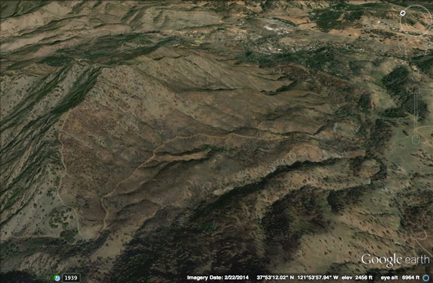
North Peak and Trails | In one of the areas that was badly burned, the North Peak Trail heads up the ridge to the left, while the Prospectors Gap Road heads down the mountain to the right.
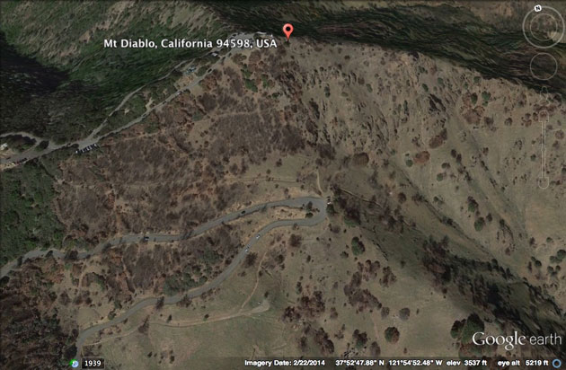
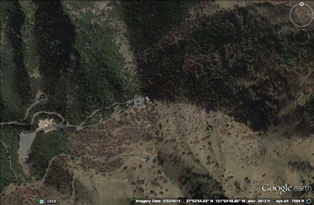
Devil’s Elbow | The summit of Mount Diablo, showing the burn on the southern slopes. The Summit Road makes a hairpin turn at Devil’s Elbow, which is the start of the North Peak Trail.
The Summit | The Lower and Upper Summit parking lots rest just at the dividing line: the south side of the mountain burned, but the north side was mostly untouched.
You can download free Google Earth software at https://www.google.com/earth/. Once you’re registered you can send Google Earth a list of “points of interest,” and it will let you know when new photos are posted, usually every one to three years.