.jpg)
What direction should our parks take over the next two to three decades? That’s the question facing National Park Service personnel who are reaching the mid-way point in the general management planning process for Bay Area parks, including much of the GGNRA and Muir Woods National Monument. Until August 1, you can add your input to the hundreds of comments already received through response cards, emails, and open houses. See the end of this article for links and more information.
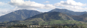
This process, which will have lasted four years by the time it’s completed in 2010, aims to create a blueprint for conservation, recreation, and historical preservation in the parks. Since 1980, the last time such a plan was drawn up, GGNRA has more than doubled in size by absorbing new territory from Marin to Half Moon Bay.
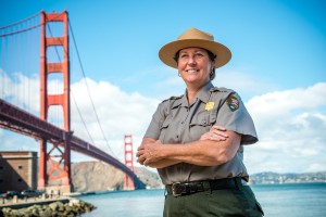
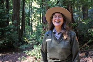
When it was created in 1972, the GGNRA was tasked with offering “national park experiences to a large and diverse urban population while preserving and interpreting the park’s outstanding natural, historic, scenic, and recreational values.” These two competing interests–making the parks available to as many people as possible while conserving what makes them special–can conspire to create headaches for park planners. Thirty-two endangered species call the planning area’s parks home, while its 47,000 acres and 28 miles of coastline attract an ever-larger throng of hikers, bikers, dog owners, and tourists. “It’s not an easy balance to set,” says Brian Aviles, senior planner with the National Park Service, “we need to think carefully about what the condition of the parks will be in years down the road.”
Rather than tackle this problem piecemeal in each park, the planning team has taken a regional approach. “We wanted to develop a philosophical approach to the parks above a site-by-site level,” explains Aviles. Looking at the system as a whole allows planners to balance use, conservation, and preservation by playing to each parcel’s strengths. When two guiding principles clash, Aviles says planners use a strategy he calls “choosing by advantage”: looking at which use of the park will give the most bang for the buck. Thus, heavily trafficked areas like Alcatraz and the Marin Headlands may continue to get heavy use, while more sensitive parks like the newly acquired Rancho Corral de Tierra might have more restricted access.
To create this holistic picture, the planning team has devised three preliminary concepts which delineate distinct visions for the future of the parks. The first concept, “Connecting People with the Parks,” emphasizes the public-use aspect, increasing outreach and transport options and rehabilitating existing structures for a variety of uses. A second concept, “Preserving and Enjoying Coastal Ecosystems,” focuses on conserving and restoring habitat for native wildlife, and encourages low-impact visitor use. The third concept, “Focusing on National Treasures,” seeks to immerse visitors in the history of the parks by offering an array of interpretive and educational opportunities.
So far, public comment hasn’t clearly favored any one of these three concepts. “I think what will come out of this process is a hybrid of the ideas here,” says Aviles. That, after all, is what the planners want: to whittle down these general concepts into one cohesive vision. Says Aviles: “We’re focused on making this a shared decision about what the future of this park should be.”
Getting Involved:
Want to help shape to future of Bay Area parks? Head to the planning website to read the details of the planning process and submit a comment form. For more free-form responses, email your comments to goga_gmp@nps.gov or leave a voice message at (415) 561-4965. To stay up to date on the emerging plans, sign up for the planning newsletter by clicking the yellow “Join Now” button at www.nps.gov/goga/parkmgmt/planninglanding.htm.