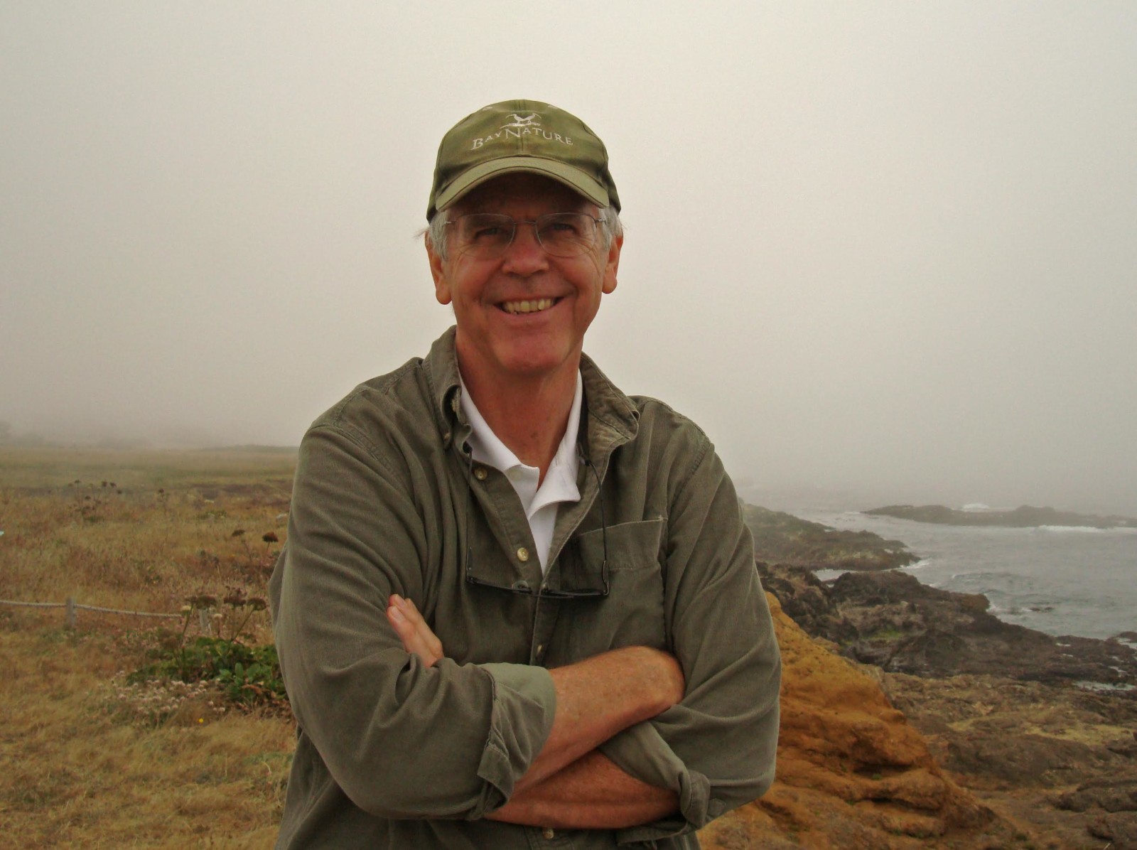
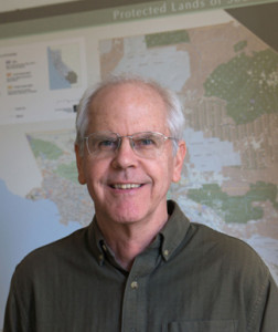
Guiding people through the wilderness comes naturally to Bay Nature’s board chair emeritus Larry Orman, who began his career in open space as a whitewater river guide on California’s Stanislaus River and eventually wound up mapping the uncharted open spaces of the Bay Area, an essential step in conserving them. Empowering ordinary citizens as planners through the power of information technology has been Larry’s passion since his tenure at the pioneering regional conservation organization People for Open Space, which later became the Greenbelt Alliance (where he was the first paid staffer), and later as founding executive director of the GreenInfo Network.
We spoke with this visionary co-founder of the Bay Area Open Space Council about his life’s mission, and his service to Bay Nature Institute as its longtime board chair. Larry retired from our board earlier this year after serving 12 years, having played a crucial role in guiding this regional media organization from infancy to adulthood (or at least, adolescence).
BN: Are you a Bay Area native? If not, what inspired you to move here?
LO: No I grew up in San Diego but came up here to go to school at UC Berkeley in 1967, where I received a Master of City Planning. The Bay Area felt like home more than San Diego did and there was a pretty strong feeling [about the environment] at that time.
BN: Your childhood was pretty “wild”, I hear.
LO: Yes, as a kid in San Diego I got to play in the canyons, in natural unstructured areas. And I was in the Boy Scouts, went camping, and in 1971, I became a whitewater rafting guide. I did five years of that.
BN: What was your most memorable experience as a river guide?
LO: My very first trip! I’d never been on a whitewater river, and it was freezing cold and raining. We had to pour boiling water on our cutoff blue jean shorts in the mornings because they had frozen stiff overnight! None of us knew about wetsuits or wool. It was really tough. But I loved it!
BN: What was your first job working on open space issues and mapping ?
LO: In 1976, I became the first professional staffer at Greenbelt Alliance (then called People for Open Space). For the first couple years, I drove over 40,000 miles a year around the Bay Area to learn what the region was and meet with different groups and leaders. And I ended up doing a lot of photography on the way, to be able to show others different parts of the region. No one had maps of open space. There were AAA road maps, but if you wanted to know where farmland was, you guessed. I used to go down to NASA Ames Research Center and photograph their 9×9” satellite image transparencies. We would then project these slides onto walls with base maps on them to draw land use maps. There was a lot of written Bay Area history – environmental reporter and author Hal Gilliam was great at writing about it—but there was no visual spatial info.
BN: How did technological advances in mapping change the nature of your work?
LO: Greenbelt began using GIS (geographic information systems software) in the late 1980s to map lands at risk. It was a very powerful tool but difficult to use. By 1995 I’d been at Greenbelt Alliance for 19 years and thought helping other nonprofits use computer mapping might be a very useful thing to do. Mapmaker [and longtime Bay Nature content contributor] Louis Jaffe suggested I start my own shop to do that for environmental groups, and I managed to get money from a friend of mine who was head of a foundation to start it. I never thought it would be very big, but the timing was perfect for geospatial information to emerge as an important tool for the open space community, and for many others. That was the inception of GreenInfo Network.
BN: Tell us more about GreenInfo Network.
LO: It’s a nonprofit that helps 80-100 organizations per year use computer mapping tools to understand and visualize places. We do maps, data analysis, web sites, web map applications and communications strategy for the groups we work for – you can see all this work at www.greeninfo.org.
BN: How has mapping changed since 1996? And is there still a role for print maps?
Over the last two decades, GreenInfo’s seen a lot of technology changes and we’ve managed to evolve well with it. There’s a much stronger focus now on interactive maps and applications, and less of an emphasis on printed maps, but there’s something irreplaceable about a great 30×40” poster map of a place or issue, that a group of people can gather around and share the experience of looking at that image – phone apps can never do that.
BN: Can you describe one of your favorite projects at GreenInfo?
LO: One of the key projects has been our database of all parks and other protected areas in the state, called CPAD, the California Protected Areas Database. It’s a GIS inventory of the 14,000 parks in California that are owned by 1,000 agencies and NGOs, covering 49 million acres of land, about half the state. It’s the most detailed data set of its kind for any state in the country and we’re very proud of it (www.calands.org).
BN: How were you involved with the founding of the Bay Area Open Space Council? What need were you hoping to meet?
When I was at Greenbelt Alliance, we always thought of the region’s open space as having different elements – farmland, watersheds, flood zones, etc. Publicly owned parks was one key part. So in the 1980s we developed a database of all parks in the region and hosted a large conference to highlight the needs for future park land. Two years later, after the first big national open space conference, several of us in the Bay Area concluded there was a role for having a regional collaborative just on public parks and other acquired open spaces. I then helped create this group – it was challenging to get people to see the value of a regional coordination effort, but we did it and after hiring John Woodbury as the first coordinator in 1993, it just took off. I think the Open Space Council is incredible and there’s nothing really quite like it in other regions of the U.S. – 150 agencies and NGOs who work on parks and open space acquisition working together.
BN: What (or who) inspired you to become a Bay Nature board member?
LO: David [Loeb] or Malcolm [Margolin], I don’t recall which, reached out to me and asked if I could help getting Bay Nature going as a board member.
BN: What made you the right fit for the Bay Nature board?
LO: I’ve always believed the region should have the strongest possible connection to its incredible landscapes and ecology. The Open Space Council came from that kind of thinking; Greenbelt was in the middle of novel ways of thinking of the region as a region. Their whole purpose in life was to build overall awareness, see interdependence, and do things that acted on it. All of that made me a natural for Bay Nature, which added one more piece of that puzzle.
BN: Why should people support Bay Nature?
LO: Bay Nature is truly unique in the U.S.: a beautiful, informative and consistent voice for the nature we all live in and need. It’s exactly what is needed to get people engaged with the region. The Bay Area has tons of groups working on different issues and geographies, but it needs regional voices that integrate these efforts and show their relationships. Greenbelt Alliance, the Bay Area Open Space Council, Bay Nature – these are the connectors and we need them. Bay Nature’s particular role is to be the story-telling voice that makes us inspired about our place, and pushes us to be involved in efforts to protect and enjoy what we have.
BN: Is there anything more you’d like to add about supporting Bay Nature?
LO: Give till it hurts. Ultimately, the thing that moves the needle for nonprofits is to get the funds needed to do good things. Bay Nature magazine ought to have twice the number of subscribers it does – so how can we get 15,000 people to sign up? – it’s doable, but we need the “venture capital” to take that on. Plus we need to build the web engagement.
BN: What’s your favorite local nature spot on either land or water – or both – these days?
I really like walking along the McLaughlin Eastshore State Park, because Sylvia McLaughlin was the one who introduced me to environmental issues in the Bay Area. In particular, I love to see the big meadow at the foot of University Avenue in Berkeley, because I got started on all this environmental work by helping Sylvia and others stop a massive regional shopping center from going there in the early 1970s. It was so great to defeat that crazy proposal, but it did take 30 years to get the park after that. Sort of how it goes when you’re protecting places you love.
“Give [to Bay Nature] till it hurts!” – Larry Orman
Take Larry’s lead: Support Bay Nature by making a gift today!
Editor’s Note: Larry has announced he will be stepping down as ED of the GreenInfo Network at the end of 2015.