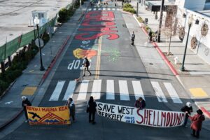
On Sunday, La Loma Path was added to the network of approximately 140 walkways that meander between houses and streets in the Berkeley hills.
The network of green passageways make a perfect outing when there’s no time to head to Tilden or Wildcat Canyon. The bramble of unruly plants are refreshingly wild compared to the pruned shrubbery and disciplined yard plants that typically characterize suburban topography. August is when blackberries reign supreme, a tasty treat for the pathway adventurer.
La Loma is the latest addition to the network, which was developed at the turn of the nineteenth century and has been slowly expanding since 1998 with the efforts of the Berkeley Path Wanderers Association.
“We are really trying to encourage people to use them as green space,” says association president Keith Skinner.
A path revival
To do so, they have been creating new paths that were penciled into original city plans but never constructed, reviving some of the moribund paths, and, in their spare time, organizing hikes through the ivy-strewn corridors.
“We always think strategically when considering paths for development in terms of the benefit they deliver to walkers and the neighborhood,” Skinner said.

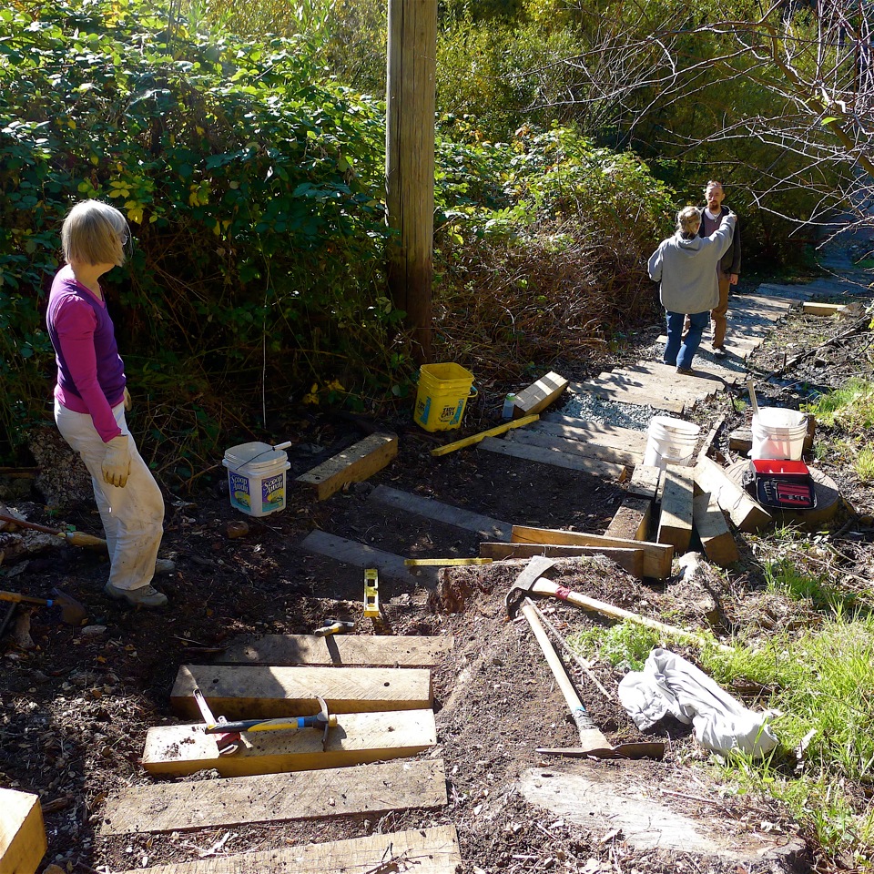
The BPWA selected La Loma as its next project because it would link pedestrians from Selby Trail in Tilden Park to Glendale-La Loma Park. La Loma consists of 161 wood tie steps, salvaged from a disassembled railroad, and connects Glendale Avenue to Campus Drive. It is the 30th path built by the BPWA.
The blueprints for more than a dozen other plans will likely never been realized because of engineering challenges, as well as geological and man-made obstructions
The paths, which are public property, are clustered in Berkeley’s hillier neighborhoods; Northbrae and Thousand Oaks have the highest concentrations. Nearly all of them are labeled with street signs, and some are paved for public safety. Their canopies of tangled overgrowth blot out sunlight and, momentarily, the aura of suburbia.
At one point, the BPWA experimented with planting native plants along the paths, but blackberries and ivy soon overtook them and since then, it’s let nature do its own landscape architecture. As a result, the paths have a distinctly feral quality to them, though the feeling is sometimes interrupted by an occasional discarded garden implement or rogue lily plant, reminding you that civilization is just over the fence.
“It was serendipity that these paths developed into a park-like experience,” said Paul Grunland, a member of the Berkeley Historical Society who studies the paths.
Earthquake’s aftermath
The 1906 earthquake sparked an exodus of San Francisco residents to the East Bay, causing housing developments to encroach upon the hills. Rather than follow the San Francisco model and stamp a grid system onto steep terrain, developers created streets parallel to the contours of hills. This layout, though aesthetically pleasing, would have been cumbersome to navigate on foot.
To address this, one of the primary engineers, Charles Huggins, designed a series of pathways that allowed pedestrians to traverse the winding streets, creating a more direct route to the trains and streetcars that transported commuters into San Francisco. The advent of the automobile changed all that.
“Soon everyone had a car and the paths became obsolete,” Grunland said.
It’s possible the pathways would have remained derelict relics of a pre-automobile era had another natural catastrophe not revealed a different purpose for them.

In 1991, the Oakland-Berkeley Hills Fire ravaged 1,520 acres and claimed 25 lives and 3,200 residences. It quickly became evident that the paths could serve as both escape routes for residents and as access points for firefighters, where downed power lines and other debris had obstructed many of the streets.
For instance, fire department records recount running 2,500 feet of hoselay along Eucalyptus Path, which runs behind the Claremont Hotel, linking Alvarado Place to Alvarado Road, to reach houses made inaccessible by obstructions in the street.
In many cases, though, the paths were too overgrown and derelict to be fully capitalized on, which prompted the city of Berkeley to commission a private company to outline the improvements necessary to make the pathways more functional as alternate routes in the event of another natural disaster. The consultants proposed a plan for path renovation that called for a liberal quantity of concrete and came with a prohibitive price tag.
“The city didn’t buy it,” Skinner says.
A new vision
The Berkeley Path Wanderers Association put forth a different vision for renovation of the paths, one that could be carried within a more modest budget. Using salvaged wood ties from railroads to build steps, they implemented a “rustic path” concept that made the paths walkable again but reduced the need for concrete. They have also distributed paper copies of the pathways map to fire department officials and Skinner worked with a GIS analyst to incorporate the paths into a GIS model, making it possible for the city to map hypothetical pedestrian escape routes in the event of another natural disaster.
“People have found a higher purpose for the paths,” said Grunland.
If you’re interested in a guided walk through the paths, the BPWA hosts quite a number of events, including some unexpected themes, such as “Poetry on the Paths” and “Hula and Hike.” Or check out the group’s list of self-guided hikes. And maps of the paths are also available.