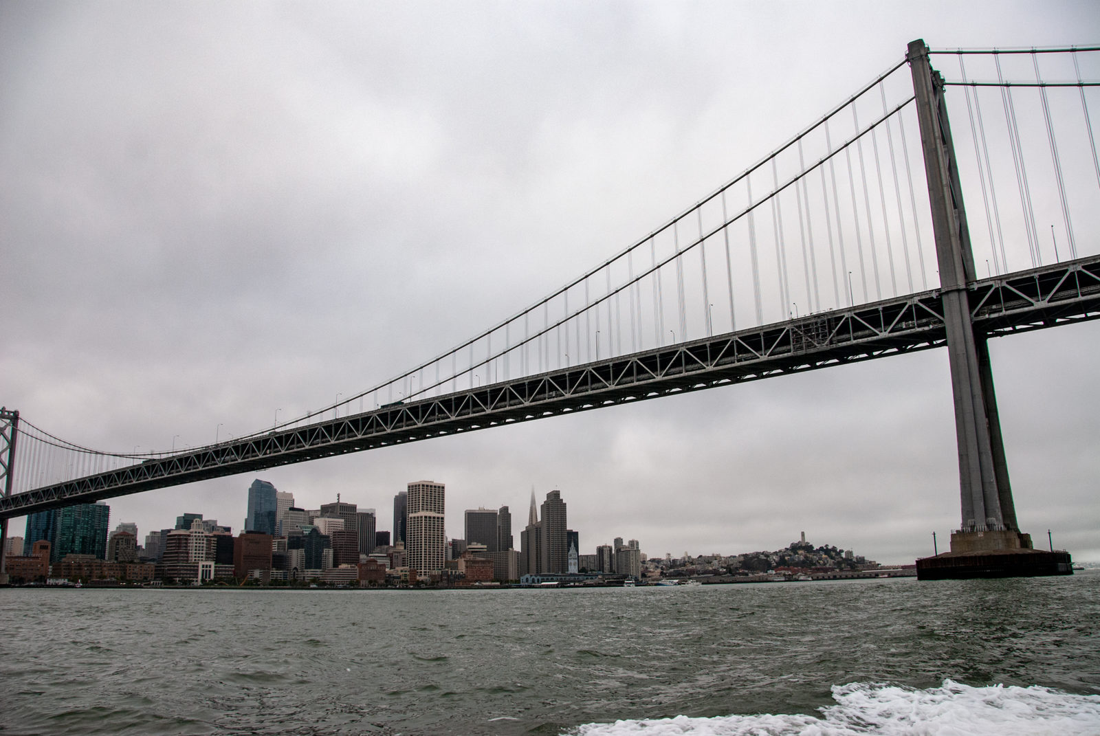
The San Francisco Bay is our region's dominant geographic feature.

Good News for Steelhead from SFPUC

 • 

Things are looking up for the steelhead trout of Alameda Creek. A revised plan to replace the Calaveras Dam includes several features that will benefit the federally threatened fish. The San Francisco Public Utilities Commission (SFPUC) approved the project on January 27, 2011, ending years of discussion with conservation groups and federal agencies.

Suburban Slough

 • 

There is a godwho sits upon the sea’s blue monumentand breathes into the tide.He sits far off, and yet his breath is here. It is a little channel, barely wideenough to have some mud and pickleweed,with bulkheads hemming it on … Read more

Saving the Bay’s Sharks

 • 

October 2010 is the second-annual Sharktoberfest–time to celebrate and learn about these critical predators of the Bay: sevengill cowsharks, leopard sharks, spiny dogfish, and more.

Subtleties of the Subtidal

 • 

San Francisco Bay is both familiar and mysterious. Millions see it every day, yet we almost never glimpse beneath the steely surface. From eelgrass and oyster beds to mudflats and sand waves, there’s a lot to learn about. An innovative coalition is working to set an agenda for 50 years of research and restoration that will illuminate and resuscitate the vast wilderness below the lowest tides.

The Long, Slow Spill of the Luckenbach

 • 

We don’t even have a word for an oil spill that drags out over five decades, but that’s just what happened with one ship that sank off the Golden Gate. Now, funds are flowing to help mend the damage.

New Plan for the “Hidden Bay”

 • 

Every day, millions of people drive over it on a half dozen bridges. Ferries and freighters cross it. Windsurfers and kayakers and boaters ply its waters. It’s the picture-postcard backdrop for thousands of tourists along the San Francisco waterfront. And yet much of the real action in San Francisco Bay is hidden from us beneath murky waters. A new plan aims to change that…

Liberty Island

 • 

This flooded island has become a surprising refuge for endangered Delta smelt, which have ended up living here full time, much to the surprise of biologists. But an invading exotic plant threatens that success, unless land managers can make some changes to tilt the game back in the smelt’s favor.

Map: The Delta Region

 • 

This map covers the entire Sacramento-San Joaquin Delta, showing protected areas, water conveyance systems, subsided areas (below sea level), and water salinity gradient.