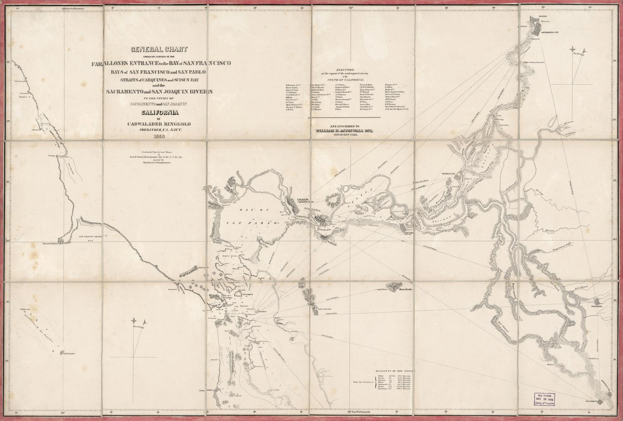
Human settlement in the San Francisco Bay Area dates back 10,000 years to early Native American settlements. Today, the region is a teeming metropolis of 7 million people that collectively challenge the health of the region's ecosystems. How it got this way is a story that prompts a deeper understanding of our place in the landscape.

The Saved and the Dammed

 • 

For better and worse, the upper reach of the Pilarcitos watershed on the Peninsula was dammed to supply water to San Francisco in the 1860s. The surrounding land has been protected and kept off-limits to the public ever since, allowing rare species to thrive here. That includes the marbled murrelet, which nests only in old-growth conifers, such as Douglas fir. But the dam and other impacts also leave less water in the creek for oceangoing steelhead. Now, a diverse group of stakeholders has come together to chart a brighter future for the fish and the creek.

Marking Time on the Dunes

 • 

A walk at Lawson’s Landing is a step back into simpler times, when families returned to the same spot every summer, and nobody worried too much about building permits and planning boards. The Lawson family originally bought land at the … Read more

Shifting Sands

 • 

At the mouth of Tomales Bay, sand dunes and seasonal wetlands coexist uneasily with California’s largest coastal campground. The dunes at Lawson’s Landing, home to rare butterflies and plants like the dune tansy, are among the few left of a once-common coastal habitat that could be restored and maintained as a healthy, functioning ecosystem. But can that be accomplished without driving out the family-run camping operation at the dunes that, since 1957, has been an affordable summer getaway for thousands of visitors?

Forgotten Foundation

 • 

On a trail at Mount Tamalpais or Diablo, perfectly set stone steps make an ascent easier; farther along, a massive log bridge crosses a rugged ravine. It’s common to pass by and take these structures, and those who made them, for granted. This spring marks the 75th anniversary of the inauguration of Franklin Delano Roosevelt, whose epic New Deal work projects brought us not only dams and bay fill but also enduring public trails and other park infrastructure that thousands of people use today with little knowledge of their origins and the great nationwide social experiment that built them.

My Hill

 • 

Everyone has a hill. A line of land up and down that makes your heart leap. A small fold in the planet that signifies your place, your familiar ground. The thing that catches your eye when you get home, or … Read more

The Key to Willow Creek

 • 

Thanks to the efforts of dozens of volunteers, a biologically rich watershed on the Russian River has become one of the newest additions to our state park system.

Speak of the Devil

 • 

Mount Diablo is such a towering icon of our landscape that it is sometimes easy to forget how much complexity lies within its familiar outline. Indeed, the mountain holds many stories: from the drama of its birth under the ocean, to its (mis)naming by early American settlers, to last year’s rediscovery of the rare Mount Diablo buckwheat. Today the story continues, with the mountain and its surrounding ridges and canyons anchoring a bold vision for a broad swath of protected open space and wildlife corridors stretching from Concord to Livermore.

What a Grand Sight!

 • 

Beginning in 1860, botanist William H. Brewer accompanied state geologist Josiah Dwight Whitney on an expedition to perform “an accurate and complete Geological Survey” of California’s rocks, fossils, soils, minerals, and botanical and zoological specimens. Brewer’s accounts of his travels, … Read more

At Home off the Range

 • 

Once home to California’s largest landowner, Mount Madonna near Gilroy showcases an impressive range of habitats, from redwood forests to open oak woodlands, serpentine barrens, and chaparral.