The San Francisco Bay is our region's dominant geographic feature.

Casino Proposal at Arrowhead Marsh

 • 

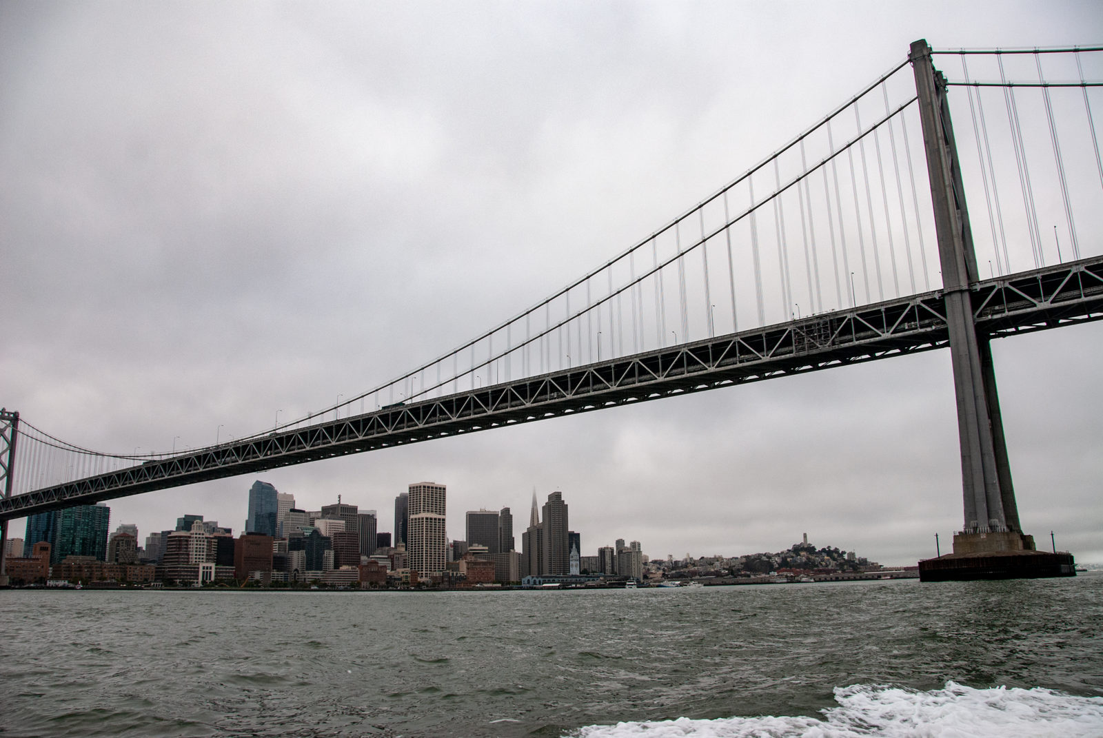
The 1,220-acre Martin Luther King Jr. Regional Shoreline Park, near the Oakland Airport, includes 72 acres of restored wetlands and the distinctively shaped Arrowhead Marsh, which reaches out into the waters of San Leandro Bay. These wetlands, in the midst … Read more

By the Water’s Edge

 • 

The East Bay is home to 44 creeks that drain into San Francisco Bay—from small but well-protected Wildcat Creek in the north to the 700 square miles of Alameda Creek’s watershed to the south.

Down to the Sea Again

 • 

Daly City’s cliffs hold tales of ancient seas and volcanic eruptions. But don’t count on them to stand still under your feet, or your home.

Sonoma Baylands Purchases

 • 

As Tolay Creek pools and spills on its journey to San Pablo Bay, it passes several recent acquisitions by the Sonoma Land Trust (SLT), an organization that is piecing together a wide swath of land stretching across the shoreline of … Read more

Revitalizing Urban Creeks

 • 

Urban creek restoration involves more than removing nonnative plants and substituting local ones. Add to that: volunteer management skills and detailed knowledge of bird, amphibian, fish, and mammal habitats; flood plain control; water quality; government ordinances; and the right size … Read more

Taking Refuge

 • 

At this small, sandy National Wildlife Refuge on the industrial outskirts of Antioch, you’ll find great views of the San Joaquin River, and rare plants and insects that don’t exist anywhere else.

A Tall Order

 • 

There are many factors to consider—from endangered species and sediment deficits to flood control and budget deficits—when you restore 16,500 acres of salt ponds.