.jpg)
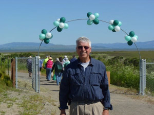
From the top of Dillon Point in Benicia State Recreation Area, you can trace the route of the Carquinez Strait Scenic Loop Trail, a 50-mile route that will, when finished, ring the strait. Now that the bicycle and pedestrian path is open on the Benicia-Martinez Bridge, the trail is only 11 miles shy of completion. In celebration, the East Bay Regional Park District (EBRPD), San Francisco Bay Trail Project, and Bay Area Ridge Trail Council will offer public hikes and refreshments on Saturday, October 3, 2009, at the Nejedly Staging Area at Martinez Regional Shoreline. The three organizations are also marking milestone anniversaries: EBRPD turns 75, and both regional trails turn 20.
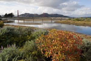
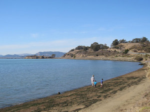
Bounded by two bridges–the Benicia-Martinez Bridge to the east and the Al Zampa Carquinez Bridge to the west–the trail covers the length of the strait on both sides and encompasses solitude, wildlife, scenic views, waterfront neighborhoods, and modern engineering. Once the trail is complete, you’ll be able to bike around the strait in a day. Meanwhile, you can explore big chunks of the loop, which traverses Benicia State Recreation Area, Martinez and Carquinez Strait regional shorelines, John Muir National Historic Site, the Pinole Watershed, and Crockett Hills Regional Park.
The Carquinez Strait Scenic Loop Trail is just one section of the Ridge and Bay trails circumnavigating San Francisco Bay. All three trails still have gaps and you can help fill them. Sign up for the REI-Ridge Trail Service Day on November 7, 2009, when volunteers will work all over the region, including along a portion of the Carquinez Loop at Fernandez Ranch. Check for more workdays and ways to help at ebparks.org, ridgetrail.org, and baytrail.abag.ca.gov.