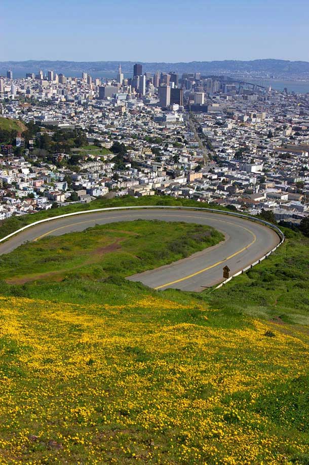
Imagine if a 10-mile path through San Francisco connected natural open space from Crissy Field through Twin Peaks and Glen Canyon down to Candlestick Point. This image occupies Claire Beyer’s mind, and it’s the ultimate goal of her project, known as the Twin Peaks Bioregional Parks Project.
It all started with a conversation with Peter Brastow, founder of Nature in the City, a nonprofit focused on restoration, advocacy, and nature outings in San Francisco. Beyer was fascinated by the idea of creating a space that would be both ecologically valuable and have recreational use for San Franciscans.
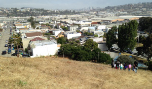
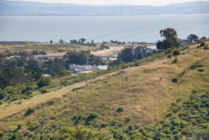
“How do you design an urban environment that can sustain natural processes–but also be relevant and important to the residents?” asks Beyers. “After the initial conversation and the big idea of the corridor, I began zeroing in on Twin Peaks Bioregional Parks.” The Twin Peaks Bioregion is the 150-acre area around Twin Peaks that includes many zones of natural habitat. Parks in this area like Mount Sutro and Glen Canyon Park contain a diverse range of habitats and many native species, but they are under different jurisdictions and it can be difficult to get from one to another.
We first became aware of the project through a brochure Beyer just completed (now available to download as a PDF [5 MB]), which Beyer hopes will help people “start exploring and take the opportunity to hike and be engaged in the natural areas in San Francisco.” In fact, the project has become her masters thesis at the University of Washington’s landscape architecture program.
But what progress has been made on the ground for realizing the vision of a continuous corridor?
The San Francisco Planning Department and the San Francisco Neighborhood Parks Council met at the end of 2008 to evaluate their plans for the future of San Francisco parks, Beyer says. “They created Open Space San Francisco: 2100, which is a hundred-year, bolder vision that asked ‘what would we really like San Francisco to look like?’ We started to see connected open space, and an urban corridor taking shape. It captured the imagination of a lot of people.”
The catalyst for Beyer was twofold: the land was already owned by the city, and many conservation programs already exist in San Francisco. “I talked to the city agencies that held open spaces, and most were interested,” she explained. There are ten different agencies that own land around Twin Peaks. “A lot of them don’t have natural resources staff. The Fire Department owns an area with a reservoir but they don’t have the kind of staff to manage it. So a lot of agencies saw the opportunity to begin creating something with these adjacent, contiguous habitats.”
In most urban areas, efforts to create habitat corridors are hindered by land ownership problems, but in this case, the land is already part of the city’s domain. Beyer was also encouraged by the city’s many existing nature-oriented policies: the Better Streets Plan, the Significant Natural Resource Areas Management Plan, the Municipal Transportation Agency’s Pedestrian Master Plan, and more.
But just like the many departments that own land in this area, all those plans could be better coordinated with each other. “There are all these different plans, but they’re not in dialogue, even though they have the same goals: safe pedestrian access, conservation.”
Beyer had worked for several years as a restoration ecologist in San Francisco and the East Bay when she began to think about the importance of human interaction with natural space.
In the process of working on her masters degree (which she complete in 2009), Beyer discovered that San Francisco has a long history of open space planning: In 1904, architect and urban planner Daniel Burnham designed a large system of interconnected parks for San Francisco, many of which never came to fruition. But the effort didn’t die there. “In the 1940s and 50s,” she said, “there was a new open space plan, and efforts at trying to create a large park. People wanted connected open space. So this is not just in the past 10 years.”
Besides learning about the city’s history of land management, she studied the ecology of the area, interviewing local naturalists to find out about the status of different native species populations. Then she tackled the policy aspect–interviewing city representatives to ask where they saw opportunities and constraints.
She says Nature and the City provided “the seed of the idea,” and as she pursued it in her thesis, she was able to “build a body of research and create a document regarding the history, policy, ecology, and the vision.” The project is now “moving beyond just an academic exercise.”
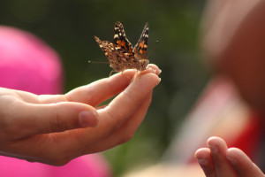
Stay tuned for developments! And watch out for listings this fall and next spring of Brastow’s popular three-mile Nature in the City hikes through Mount Sutro, Twin Peaks, and Glen Canyon, on which you can learn about the history and ecology of an area truly worth protecting.

.jpg)


-300x225.jpg)