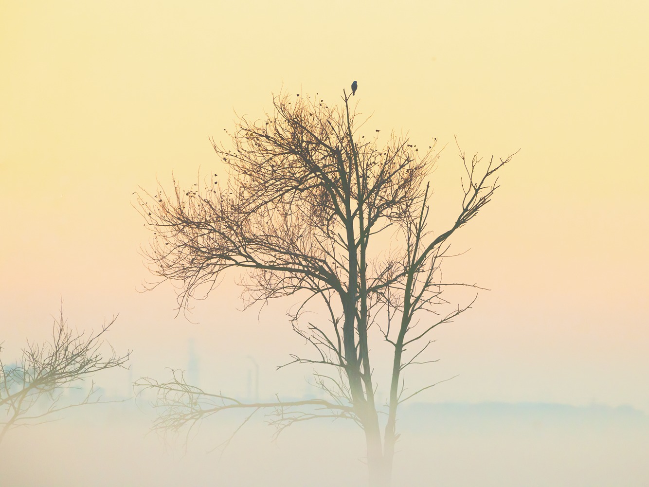
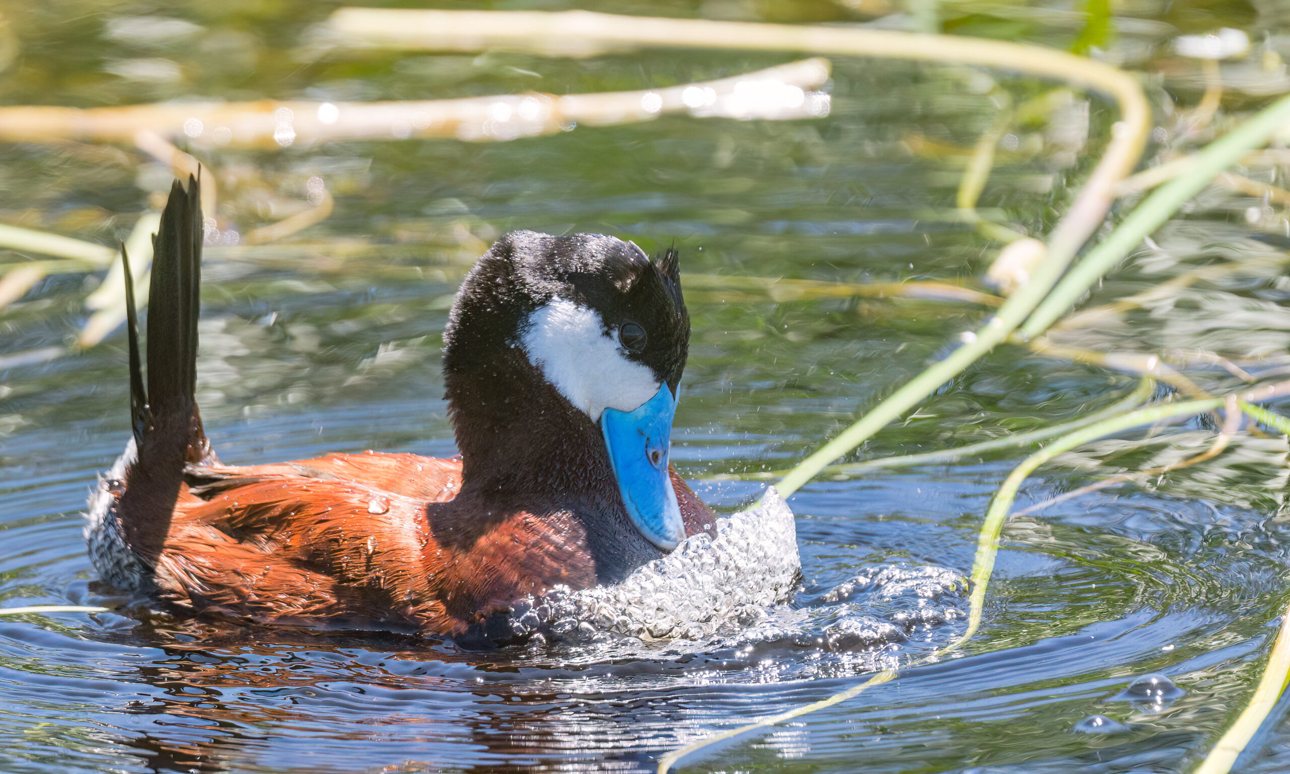
There is nobody more excited about the Coyote Hills Regional Park restoration than the birds and the plants, the former of which recently took their first chance to explore their new home. More than 100 different species—everything from American bitterns and ruddy ducks to marsh wrens and dowitchers—have visited the native salt grass and sprawling, stubby tubes of pickleweed that have already settled into the seasonal wetland constructed here in the East Bay’s city of Fremont as of last year.
“It’s almost like they’re on the lookout,” says Chris Barton, restoration project manager for the East Bay Regional Park District, about the birds that have flown over the newly restored habitat—“‘Hey, did you see that?’—and then all their buddies, they’re there. They’re on it. It being so close to the [San Francisco] Bay, I think they know what’s in the neighborhood.”
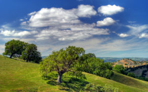
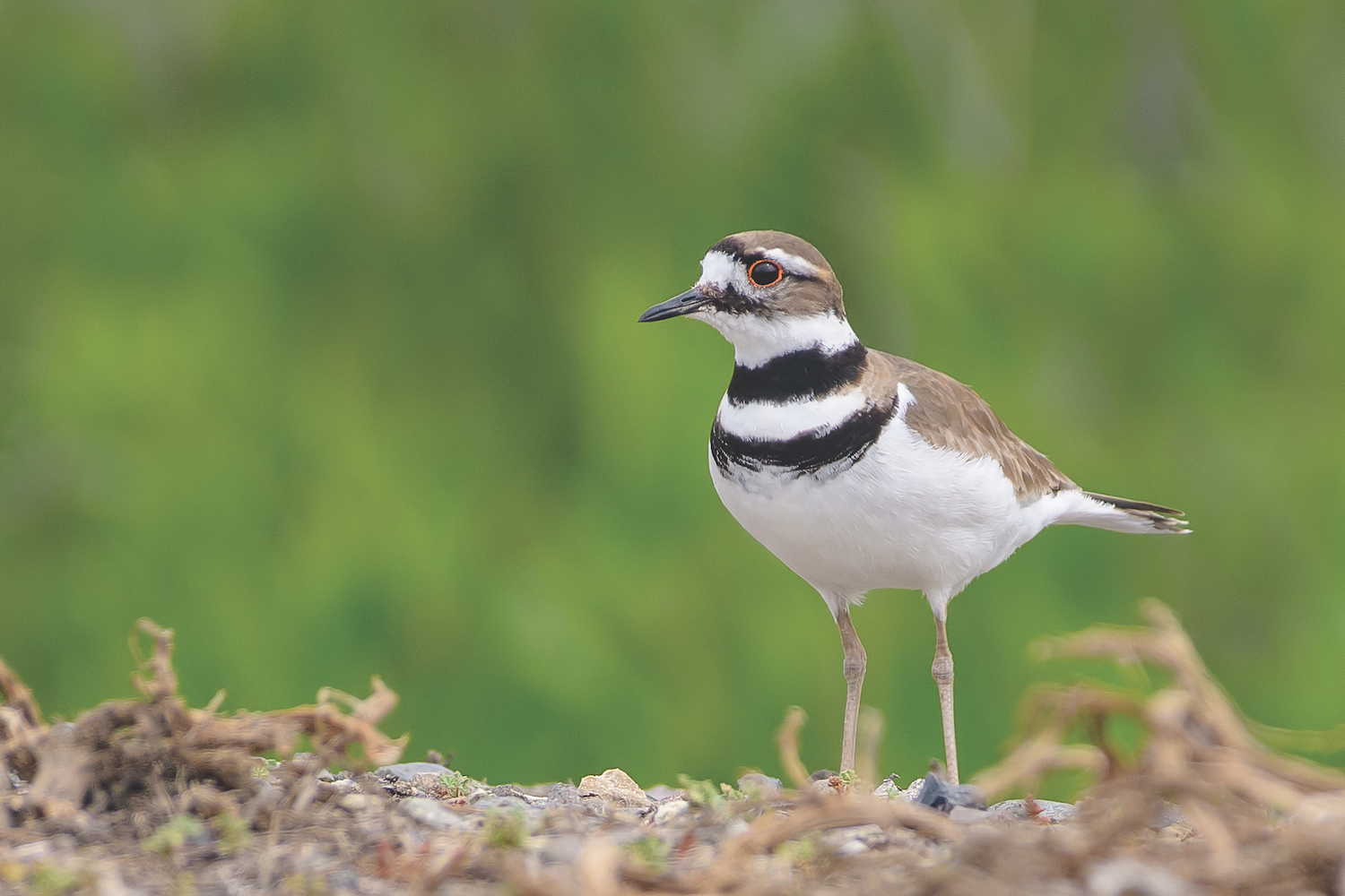
It’s transitional ecosystems like this—upland areas connected to the Bay—that create important corridors for birds that thrive moving between fresh water, the Bay’s salt water, and land. When completed and grown in, the 170-acre restoration will be a perennially flooded forest of willow, coast live oak, and sycamore that melt into a wetland that transitions into an oak-studded grassland as the soil dries out moving upland. The additional native plants will improve the area’s biodiversity, supporting a greater variety of bird species, and will increase the land’s ability to absorb greenhouse gases. Greater yellowlegs, common snipes, and killdeer are among those already starting to use the park.
“To have these upland areas, where birds can fly into riparian corridors like this, that are close to the Bay, and to have these seasonal wetlands where they can go into is so important,” Barton says.
An unintended placeholder
These 170 acres are part of a larger parcel of land, valued at approximately $10 million, donated to the East Bay Regional Park District by the Pattersons, a longtime Bay Area farming and ranching family, in 2014. Another 100 acres, at the southern end of the parcel, held by the Alameda County Flood Control district, may also be restored. The new parcels of parkland, which expand Coyote Hills by 300 acres eastward to Paseo Padre Parkway, is slated to open in spring of 2024.
The park encompasses land where Chochenyo-speaking Ohlone have lived for millennia—first in tribelets throughout what are now Alameda and Contra Costa Counties, says supervising naturalist Christopher Sulots, and today in San Leandro and many points beyond. Before settlers built dikes that held back the Bay’s water, leaving drier, nutrient-rich land for farming, there was a tidal marsh. The land also once received a seasonal dousing of floodwaters when the neighboring Alameda Creek ran high. That ended when the Army Corps of Engineers built levees around it in the 1970s, says Sulots. From the mid-1800s until 1999, approximately 150 years, the former tidal marsh was farmed. Patterson Ranch ceased growing grains, corn, potatoes, and other root crops when the soils became too saline to continue farming. Since then, mostly cover crops have been cultivated here.
“Looking at the maps, all the urbanized area is pushed right up to the Bay,” Barton notes. “It’s really a blessing that they farmed it for so long, kind of as a placeholder, and now we can restore it back.”
What’s new is old
Today, the expanded park is meant to serve wildlife and visitors alike while preserving the land’s agricultural and Ohlone histories. With 1.5 miles of new trails, three wildlife viewing platforms, increased parking spaces, and facilities including bathrooms and picnic tables, this park is built for those who want to get outside and see ecology in action.
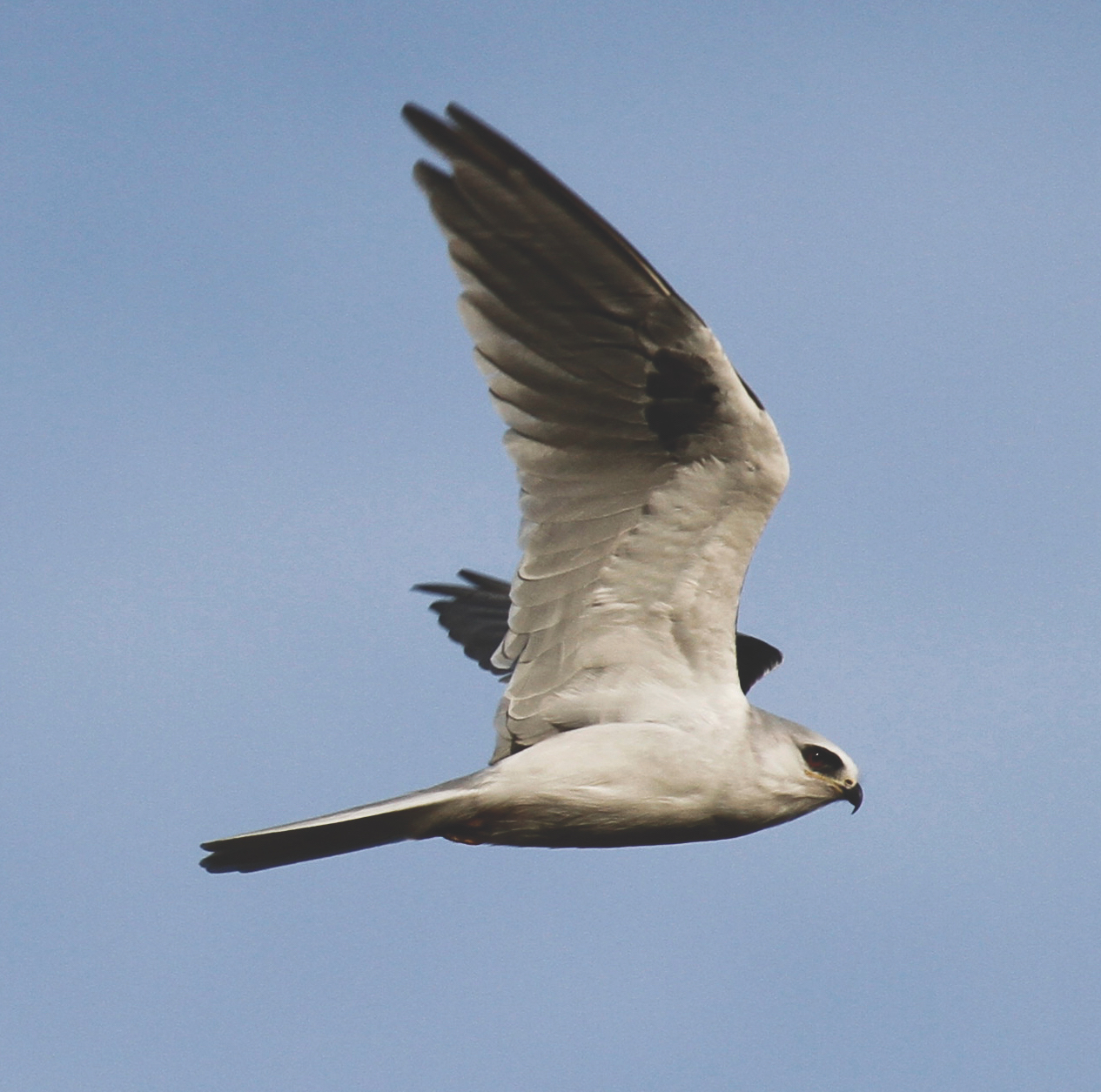
The new parkland is divided by Patterson Ranch Road, which visitors take to enter Coyote Hills. The project area north of that road is centered around Patterson Slough, an S-shaped, groundwater-fed channel bordered by oak trees, water-loving willows, and sycamores. Once, the largest willow thicket in the East Bay grew here, Barton says. The restoration involved planting more willow and oak, providing birds, such as tricolored blackbirds, places to nest and forage in the forest growing along the waterway. The land hugged by the curving slough is being restored into a wet meadow, which is a drier form of seasonal marsh, and may attract northern harriers and California horned larks, among other birds that rely on lowland habitat. In the oak savanna and grassland you may see loggerhead shrikes, or white-tailed kites hovering overhead.
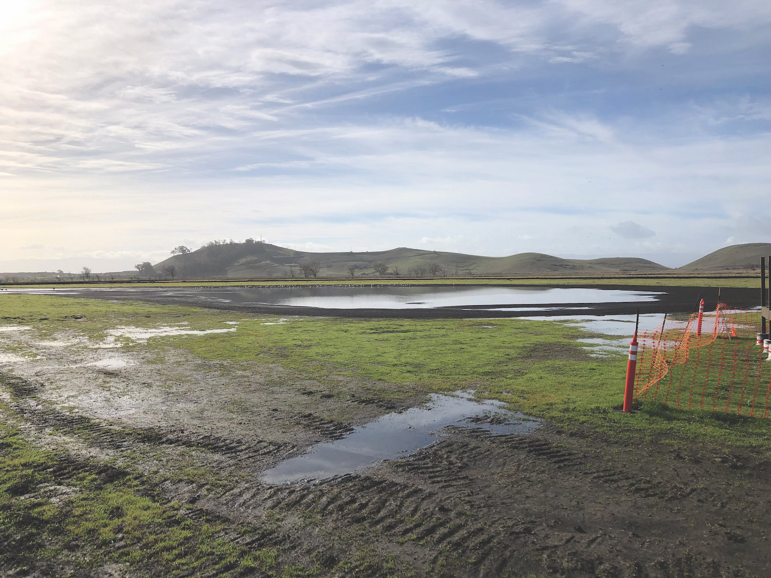
To the south of Patterson Ranch Road lie the seasonal wetland and a field that will remain in agricultural use, as specified in the park land use plan. The 45-acre field will be leased to a farmer whose practices meet the park’s standards for sustainable agriculture. An old barn on the field could be used as a produce stand, Barton says, if the agricultural operator chooses to do so.
Building a resilient ecosystem
Between the willow thicket and the expansive grassland of newly planted saplings—each encircled by a protective fence for now as they ground themselves in the new oak woodland—grows a towering, bright green cottonwood tree rooted in wet soils.
This “oasis,” as Barton calls it, is the outgrowth of a test plot. To figure out what plants would thrive in the project area’s various conditions, Barton and colleagues created such plots in the lower, wetter areas, upland spots, and transient in-between areas. All represent a variety of soil characteristics and were used to try out different plant species, weed control methods, and strategies for keeping herbivores like deer out of newly planted areas.
To discover which species grew at the site before it was converted to a farm, the park’s restoration practitioners researched the area’s historical ecology and studied existing plant community composition in less disturbed regions of the park. Since farmlands are heavily altered from their natural state, Barton says, “you really have to look for hints.”
Barton sought out plants that could withstand the pressures of climate change. The soil at Coyote Hills will likely grow saltier as water from the San Francisco Bay intrudes into park groundwater under the force of sea level rise, so salt-tolerant plants were favored. The study plots also endured an unintended stress test during the heat and storms of 2018 to 2020, facing “all extremes of weather,” Barton says.
The final “plant palette” of species used to restore the site was based on the results from the three-year experimental plots along with the input of local tribal members.
“Our plant palette was informed by our tribal partners—for example, we’re planting black walnut, which has importance to the tribes,” Barton says. Some species are valued and harvested for both traditional and modern uses, including basketry, food, and medicine. “We’re hoping that those trees will grow up to be mature and at least have interpretive value, and maybe even for collection.”
Ohlone peoples also have a custom of trimming and gathering willow in a practice called coppicing, where the tree is cut, encouraging shoots grow long and straight, excellent for basket making. Other culturally significant species being planted are oaks—black, coast live, valley—elderberry, and tule, Sulots says.
Tribal members were also involved throughout the planning and design process, which spurred, for example, the decision to take down infrastructure near sensitive resources. Digging was minimized, and when it was necessary, tribal monitors oversaw the work in case cultural resources were found.
“We’re really grateful they gave us their time and their professional opinion on how to plan and design things,” Barton reflects.
Taming the weeds
The new plants of the restored landscape will have to elbow their weedy neighbors out of the way—the invasive seed bank is particularly extensive in agricultural fields. The restoration team used several approaches to keep the weeds at bay.
Restoration practitioners selectively focused their efforts on weeds that were dominating the landscape, such as harding grass, tall wheatgrass, and pampas grass. Disturbing the soil “invigorates” the weed seeds lurking below, so weeds were treated before native plants were seeded. In addition to being mowed and grazed, weeds were selectively treated with herbicide. One method included cutting weeds and subsequently treating them with herbicide.
“The idea is to get the plant to expend all its energy to try to come back, and when it does that then you hit it with a little bit of herbicide,” Barton says. “You give it this one-two punch, and that tends to work.”
Some of these methods will need to be repeated—it may take years to fully control some weed populations. But Barton says rather than completely eradicating the site’s weeds, the goal is to establish the plant palette and keep weed outbreaks under control.
Beyond climate-resilient plants, the restoration was designed with looming environmental changes in mind. Soil mounds were placed around the site to revert from the flatness of agricultural land back to a more natural state of topography. The area housing the facilities was designed to slow down stormwater runoff, allowing it to move gradually into the environment without causing erosion and eventually percolate into groundwater aquifers. But planning for climate change means designing for flexibility, Barton says. By the time any project has gone through years of planning, design, and construction, climate projections have shifted.
Watching change as it happens
With a newly rejuvenated ecosystem comes a new experience. You’ll first come across the new entry kiosk and parking lot, complete with EV parking spots, bike racks, and bus parking for school trips. At the entry area you’ll also find bathrooms, picnic tables in the shade and sun, and a water bottle filling station. These facilities were placed away from sensitive areas like the slough and its surrounding vegetation, where birds congregate, so you’ll have to venture out to see the bulk of the restoration.
Once you’re ready to hit the trail, you have several exploration options. In addition to new wildlife observation platforms—a Bay Area bird lover’s dream—the park has newly built trails in “clustered loops” that accommodate different abilities and desired excursion lengths. The new paths also connect to regional trails like the Bay Trail and the Alameda Creek Trail. All trails and platforms are built to be smooth and accessible, and trail signs will be in both English and Chochenyo.
“As you walk through, you’ll see the whole succession of the project in front of you over the years,” says Michael Moran, regional interpretive and recreation services manager. “Willows grow fast, native grasses can grow fast … visitors can see the wholesale change in the look and function of the environment.”
On your walk or bike ride, you’ll encounter interpretive panels giving insight into the cultural importance and ecology of the area. One of these panels will be translated into Chochenyo, Sulots says.
As you continue, you may run into an East Bay Regional Park District naturalist. Moran says the interpretive division is adding a naturalist position to its staff in light of the park’s expansion, to have more presence throughout the park and create programming for the new area.
In the next few years, keep an eye on how the Patterson expansion progresses. Maybe next year, shorebirds will return to the riparian corridor as quickly as they returned to the seasonal wetland. Maybe in a few years, all the trees will catch up to the size of the towering cottonwood in the test plot. Maybe in five or six years, as Barton anticipates, it will look like restoration crews were never there.
DETAILS
Know before you go
» Reach the entry kiosk and picnic area from Patterson Ranch Road.
» Parking is $5 per vehicle.
» Dogs must be leashed. $2 per dog, with the exception of service and guide dogs.
» Public flush restrooms and water bottle filling stations are available.
» Park hours vary seasonally. From January 1 to March 1, gates are open 7 a.m. to 6 p.m.
» For more information, visit EBParks.org/parks/coyote-hills.

