I was working at my computer at the Bay Nature office in Berkeley the other day when I was interrupted by a short, sharp jolt. I looked around at the others working in the office: “Did you just feel that?” … Read more
-150x150.jpg)
Sign up for our free weekly newsletter and understand everything better!

-150x150.jpg)
I was working at my computer at the Bay Nature office in Berkeley the other day when I was interrupted by a short, sharp jolt. I looked around at the others working in the office: “Did you just feel that?” … Read more
-150x150.jpg)
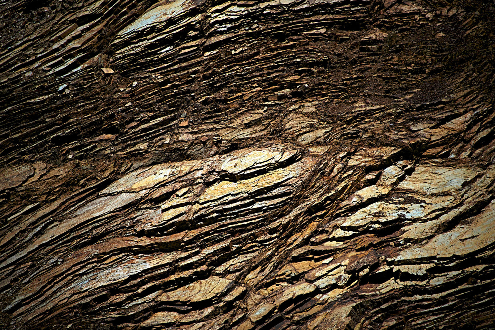
All of the familiar landforms we see here in the Bay Area—ridges, cliffs, lakes, and even San Francisco Bay itself—are products of the same titanic encounters between tectonic plates that produce our frequent quakes. Through a geologist’s trained eye, we learn to interpret the signs these forces have left on the land around us.
-150x150.jpg)
On April 18, 1906, a massive earthquake centered just west of San Francisco ruptured the earth from Humboldt to San Juan Bautista. While the more dramatic traces of this 7.8 temblor may be hard to find one hundred years later, the tectonic forces that moved the earth that day are still relentlessly shaping our young and active landscape, carrying us towards another cataclysm in the near future.

Plate Tectonics And Earthquakes National Earthquake Information Center USGS website providing current data on earthquakes worldwide. USGS Earthquake Hazards Program-Northern California Website providing general and latest quake information, hazard maps, sources of preparedness information, synthesis of current research, and resources. … Read more

At Vasco Regional Preserve, stone balls the size of dinosaur eggs litter the landscape, the winds burrow into stone, and cup-sized pools tucked into sandstone outcrops teem with fairies (of the crustacean variety). The preserve, owned by the East Bay … Read more
-150x150.jpg)
We all know that the East Bay hills are ripe for an earthquake, but volcanoes? Don’t look for lava in the headlines anytime soon, but there is a place in Oakland where an ancient volcano has laid bare a tale of fiery eruptions, long-extinct ecosystems, and the massive movements of tectonic plates. Many people go to Sibley Regional Preserve for the views of Mount Diablo or the quirky labyrinths at the bottoms of old quarry pits. But look closely at the trailside rocks, and you’ll see lava flows and a volcano turned on its side!
-150x150.jpg)
At this small, sandy National Wildlife Refuge on the industrial outskirts of Antioch, you’ll find great views of the San Joaquin River, and rare plants and insects that don’t exist anywhere else.

In 1985, when Jane and Ray Pittsinger rented a house at 548 Esplanade Avenue in Pacifica, they had a 30-foot-deep backyard that fronted on the cliffs, a staircase down to the beach, and the most amazing views of the Pacific … Read more
-150x150.jpg)
Daly City’s cliffs hold tales of ancient seas and volcanic eruptions. But don’t count on them to stand still under your feet, or your home.
-150x150.jpg)
Tucked into less than a square mile of land next to a freeway, the Peninsula’s Edgewood Park is a showcase for stunning wildflower diversity, all the result of our region’s unique geology.