This article has been conserved for you by Sonoma Land Trust.
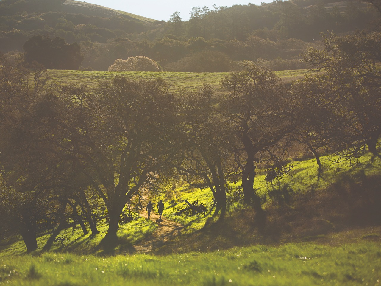
Almost immediately on my first ascension of Taylor Mountain, the path making its way up from the trailhead off Petaluma Hill Road begins to switchback its way beneath eaves of oak boughs, hiding me from the sun, while the breeze blowing off the mountain above me makes the climb feel easy.
It’s my first time at Taylor Mountain. The peak isn’t far off the beaten path—it’s located at the very northern edge of the Sonoma Mountains, where the range bumps gently into the city of Santa Rosa and comes to a rest. Around the peak, covering 1,100 acres, is Taylor Mountain Regional Park and Open Space Preserve.
The park is a relatively new addition to the Sonoma County Regional Park System. The land was acquired over the course of 18 years starting in the 1990s and officially opened to the general public in 2013.
As the trail meanders its way up the mountain, it passes in and out of shadowed forests, sometimes cutting across rolling meadows of gold climbing up into the sky. In winter, I imagine, all of this will be clothed in green, and the park maps promise the appearance of seasonal wetlands in the rainy season.
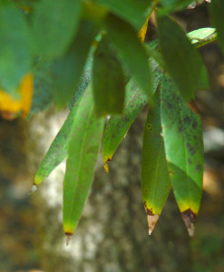
The woodlands are mostly oak. Thickets of coast live oak mix freely with towering blue oaks, whose leathery drought-tolerant leaves shade to such an astonishingly deep green that they edge toward indigo, giving the tree its name.
It takes me a couple of hours to reach the mountain’s summit at 1,380 feet, though I am hiking slowly, enjoying the walk and the views and the feel of the park. A surprising amount of the park is untouched open space, with much of the northeast half currently inaccessible to the public.
That’s going to change in the near future, though. Since 2020, there’s been work to expand the park’s trail system, including building new trails and developing previously restricted service roads into multiuse paths. Ultimately, the park’s current seven miles of trails will expand to nearly 14 miles, open to hikers this winter and bike riders and equestrians by summer 2024. Also in the works are new bridges and walk-in and bike-in park entrances, which park officials hope will increase accessibility and usage.
From the top of Taylor Mountain, Santa Rosa is rolled out in patchworks of urban sprawl, open land, and green sprays of trees. The city stretches out across the Santa Rosa plains until it breaks against the Coast Range around Sebastopol. I can just make out the open space of the Laguna de Santa Rosa wetlands to the west and the Mayacamas Mountains to the north. It is a view well worth the climb.
The details
» The draw: Miles of trails available for hiking, biking, and horse riding; wide-open vistas of Santa Rosa and the surrounding Sonoma County.
» The trail: Currently seven miles of trails that climb to a 1,380-foot summit. Eventually nearly 14 miles of trails.
» Facilities: An equestrian staging area and play structure at the Petaluma Hill entrance and a disc golf course at the Kawana Terrace entrance. The park features accessible parking, a picnic site, and accessible restrooms. Parking is $7 per vehicle. Dogs allowed in the park on leash.
» Getting there: North Entrance, Kawana Terrace: 2080 Kawana Terrace, Santa Rosa. South Entrance, Petaluma Hill: 3820 Petaluma Hill Road, Santa Rosa.