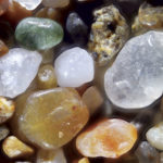
Magnified 200 times, these grains from Point Reyes tell an ancient tale.
Sign up for our free weekly newsletter and understand everything better!
Magnified 200 times, these grains from Point Reyes tell an ancient tale.
David Loeb’s October 2015 Bayview column
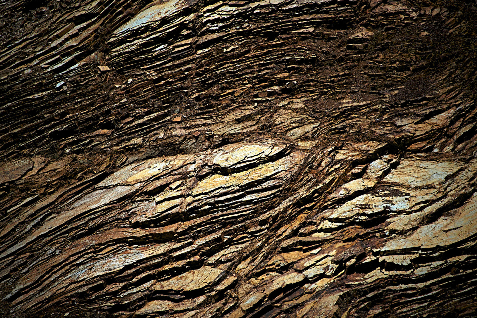
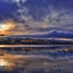
A visit to Kehoe Beach takes you on a journey to one of the Bay Area’s most dramatic geologic sites, where you can see rocks that have traveled far through time and space to pause temporarily in the Bay Area.

Two biologists discuss Earth’s alarming extinction rate.
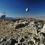
In a newly published paper, scientists link groundwater depletion in the Central Valley to geologic uplift and maybe even earthquakes.
Publisher David Loeb had his Bay Nature epiphany while hiking in China Camp State Park. That’s when he conceived of the idea to start a magazine about the natural wonders of the San Francisco Bay Area. Recently David gave a … Read more

Some people swear there’s earthquake weather. Some people swear there’s not.

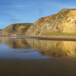
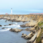
But the pressure to exploit these resources isn’t going away anytime soon either, nor is the debate over the wisdom of doing so. As we weigh the pros and cons, a missing piece of the conversation is the land itself: What is the Monterey Formation? What is it made of and how did it get here? And what kind of habitats, plants, and animals live atop it?
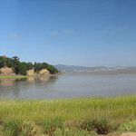
The link between dry land and deep water may soon be better recognized thanks to twin efforts to link together 3,300 acres of spectacular public shoreline and to make that land part of the California Coastal National Monument, a sprawling protected area almost no one’s ever heard of.
The Monterey Shale runs through some of California’s major fault lines. Could pounding the earth trigger the next Big One?