A walk through the Berkeley Meadow along the San Francisco Bay is a walk among the healing ruins of the fiercest and most protracted battle for a state park in California history. You wouldn’t know that underfoot lies a layer of construction refuse—old asphalt, concrete, and building materials—12 feet thick, covered now by a lush landscape of willows, coyote brush, and native grasses. Meadow voles have moved in. Raptors circle overhead, as if doing victory laps.
The 72 acres of re-created coastal prairie and scrub lie at the heart of McLaughlin Eastshore State Park, today a necklace of open public spaces along the bayshore north of the Bay Bridge. But for a long time it was a polluted and legal quagmire that not even California State Parks really wanted. The land—an 8.5-mile waterfront stretch from Emeryville to Richmond—worth millions, seemed destined to be paved over. One development proposal wanted twin 18-story hotels, and another a “stilt city” of high-rises, at the Emeryville Crescent. There were visions of office buildings, restaurants, and shops in Berkeley, as well as shopping centers in Berkeley and Albany. Yet another set of development plans embraced by many civic leaders in the 1980s called for ten million square feet of construction, roughly equivalent to 14 buildings the size of San Francisco’s Transamerica Pyramid. The Santa Fe Railroad Company and its allies would have benefitted handsomely.

East Bay environmental activist Sylvia McLaughlin was appalled. Beginning in the 1960s, she helped launch a nearly 50-year campaign that prevailed, against all odds, to turn the damaged Berkeley Meadow and the East Bay shoreline into a 2,000-acre sanctuary now managed by the East Bay Regional Park District (EBRPD). “Somebody said, ‘Well, it’s just a dump,’” recalled McLaughlin, a housewife-turned-crusader who passed away a year ago. “I said, ‘Well, it’s our dump … and we want it to be our park.’”
She and her allies faced four big hurdles: They needed to halt shoreline development and activities that were filling in the Bay, in order to protect the Bay. Money had to be found to buy the shore land. They needed to permanently protect it through official park designation. Then, if all that could be accomplished, there was this: Clean up the mess, make it beautiful, and welcome the public.
“People willed this park into existence,” says Robert Cheasty, a former Albany mayor and current executive director (and founding member) of Citizens for East Shore Parks (CESP), which works to conserve habitat and secure public access to the shoreline and was established in 1985.
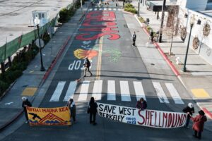
What started as a small movement grew into a large and determined coalition of environmental and community groups and five East Bay cities. It took lawsuits and legislation, zoning changes and lobbying campaigns, bond measures and propositions, and determined individuals who refused to take no for an answer.
Today the McLaughlin Eastshore State Park is a place of recovery and gradual rehabilitation. At different sites, workers have hauled out garbage and delivered truckloads of fresh dirt. Tractors are furrowing and seeding gentle dunes. Oyster beds and rocky reefs have been built just offshore. New trails are under way. More educational panels will be erected.
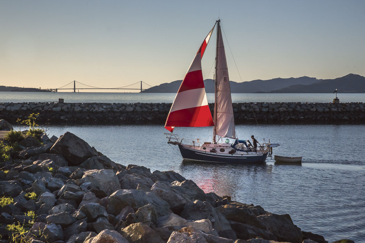
The enhanced and restored areas provide habitat to hordes of waterbirds, including less-common visitors such as the wandering tattler, red phalarope, black skimmer, and common murre. There are sweeping views of Mount Tamalpais, the Golden Gate Bridge, and the San Francisco skyline, as well as of the East Bay hills.
“Everything doesn’t need to be developed—not this,” says Alex Saunders, 60, of Berkeley, as he casts for bat rays near the Berkeley Marina, a stiff wind luffing his worn shirt like a sail. “I come every day for the peace of mind. I love it.”
The success of saving the Bay from being filled in and reduced to a shipping channel is an inspiring and oft-told tale, an illustration of our region’s changing relationship to our waters. It started in the early 1960s, when California’s population was surging and garbage was filling the Bay at the rate of hundreds, sometimes thousands, of acres per year. Distressed, McLaughlin and friends founded Save San Francisco Bay Association, later called Save The Bay, to end the practice. But the concluding chapter of the story—the politically divisive, exasperating, and expensive creation of Eastshore State Park—is less well known.
The ideas of saving the Bay and creating a park were twins, connected and co-conceived, says Norman La Force, author of Creating the Eastshore State Park: An Activist History. As early as 1963, Save The Bay’s shoreline park committee met to discuss fundraising for a small Berkeley-based park.
“Our first thought was to acquire the land,” recalled McLaughlin in a 2006 interview recorded by the Regional Oral History Office at UC Berkeley’s Bancroft Library. “You couldn’t really plan for somebody else’s land.” But the Bay’s destruction, through dumping, was a more urgent problem. “You sort of go from crisis to crisis,” she said.
The dream of a park became more real when the Bay Conservation and Development Commission (BCDC) went from being an interim agency to a permanent state planning and regulatory entity in 1969. The commission’s landmark Bay Plan cited, to the joy of local environmentalists, the need for new shoreline parks, marinas, beaches, fishing piers, and pathways, especially in urban stretches where people live close to the water but are shut off from it. But city officials hungry for growth were initially dubious. So was the state parks system, which had little experience managing urban land and little interest in the complicated challenges of this particular polluted parcel. Even the East Bay Regional Park District was wary; while it already managed eight urban shoreline parks, officials thought the state should take the lead.
And there was this one big problem: landowner Santa Fe Railroad’s development ambitions. Although trains never ran here—there was only a rail spur, built with the expectation of industry that never materialized—Santa Fe owners knew it was valuable real estate. In one meeting, Santa Fe’s principal planner looked at the Bay and said, “‘See, it’s not being used,’” McLaughlin recalled. Her response: “I’m using it. I’m looking at it right now.”
A turning point came in 1972 when the Berkeley City Council voted against building a regional shopping center on landfill. There was a second success when Santa Fe’s planned development in Emeryville—a “stilt city” of high-rises on wetlands—was rejected by BCDC. Santa Fe sued Berkeley over the shopping center, but in 1980 the state Supreme Court ruled against the company’s construction plans. The California State Park and Recreation Commission soon placed the shoreline park on its list of priority projects to fund. The state Coastal Conservancy issued an official East Bay Shoreline Report recommending establishment of an East Bay shoreline park and identified key lands for inclusion.
But then progress suddenly stalled. Republican George Deukmejian, who held no great love for the Bay Area, was elected governor in 1983. State Parks put the Eastshore park planning on a back burner. “They were always very polite and seemed to agree but nothing much happened,” says retired UC Berkeley adjunct professor of earth and environmental sciences Doris Sloan, a board member of CESP who joined the effort early. “Things just sort of collapsed, basically.”
Worried, the disparate groups of park advocates realized they needed to organize as a unified force, agree on a common strategy, seek grant funding, and elect more progressive civic leaders. A coalition called Save Our Shoreline was formed—the progenitor of today’s Citizens for East Shore Parks.
“We decided to keep pushing [in] other ways,” Cheasty says.
Santa Fe pressed forward with massive development plans along the shorelines of three cities. But after a decade of back-and-forth battles, Catellus, then the real estate subsidiary of Santa Fe, gave up in 1990 after losing court battles and elections in Emeryville, Berkeley, and Albany, concluding that it made more economic sense to sell its East Bay property than to keep fighting.
“We built a juggernaut,” Cheasty says. “Support for the park had built to a crescendo. More and more people saw the rightness of the cause. At this point, there was major commitment from everywhere. Santa Fe realized the wisdom of getting out,” he adds. “We could finally tell developers: ‘Don’t even bother calling.’”
But how to pay for a park? Without the support of State Parks, the citizens couldn’t afford it, although that had begun to change in 1988 when voters approved two bond measures, one state and one regional, for a total of $40 million to acquire land for the Eastshore State Park.
And who would manage it, if not State Parks? State Assemblyman Tom Bates led a unique legislative effort that gave the East Bay Regional Park District (EBRPD) the authority to act on behalf of the state and use the state’s funds to buy and run the park.
“I don’t think there is anything anywhere in a metro area in the United States where you have nine miles and six urban cities that are connected through a shoreline park like this,” says EBRPD General Manager Robert Doyle. “It’s an environmental justice issue. It’s a small miracle. But it really took a lot of effort and would not have been done without the park district being willing to step into a very difficult situation.”
By 1992 the Emeryville Crescent, Albany Mudflats, and part of Hoffman Marsh had been purchased. But the prize acquisition came in 1998, when the park district bought the coveted acres encompassing the Berkeley Meadow, Brickyard Cove area, and North Basin Strip (together considered of greater value than the narrow shoreline parcels). Catellus wanted $80 million for the land, but ultimately settled for $27.5 million under the district’s threat of eminent domain.
“We spun garbage into gold,” said Bates at the park’s 2006 dedication ceremony.
Now the healing could begin.
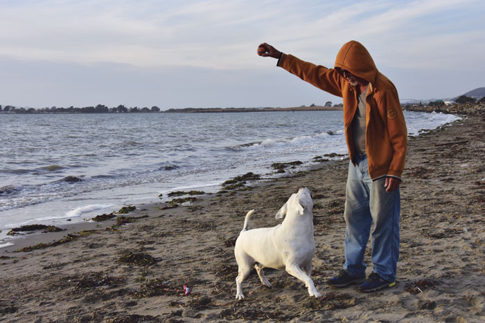
What does victory look like?
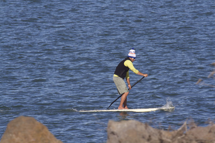
You can find out during a visit to the park, where you’ll experience the results of a contentious two-year planning process wherein many disparate groups asserted, in good faith, their own visions of the park, culminating in the final plan in December 2002. The plan provides for a wide range of users—soccer clubs and Little Leaguers, kayakers and windsurfers, anglers and birdwatchers, dog lovers, and the Let It Be group, who loved the rebar, concrete and weeds—all brought together by CESP.
Environmentalists successfully argued that the park should receive designation as a state seashore rather than a recreation area. And recent revisions to regulations have strengthened protection of wetlands. “We thought public access to the Bay was a good thing, and back then there wasn’t any. It was measured in feet,” McLaughlin, who the park is named in honor of, noted at the dedication ceremony. “Today it’s measured in miles.”
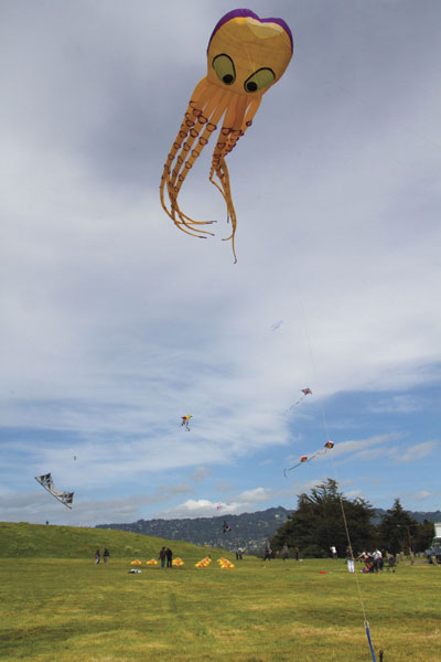
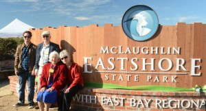
The Berkeley Meadow flanks the western terminus of University Avenue and marks the official entrance to the park with an expansive sign adorned with the image of a great egret. Just to the south, in the area called the Berkeley Brickyard, renovations of 31 acres tucked between Interstate 80 and the Bay are under way. Last year, large piles of soil that had been stored on the property for more than a decade were regraded and spread over the property; trails have been built. There are plans to plant grasses and native wildflowers this spring, followed by installation of a parking lot, interpretive display, picnic tables, new concession building, and a small service yard. Currently the Brickyard’s opening to the public is slated for winter of 2019.
The neighboring Berkeley Meadow’s reconstructed seasonal wetlands and coastal prairie are transected by two trails and protected by fencing. To build this meadow, EBRPD delivered truckloads of dirt from the construction of UC Berkeley’s Memorial Stadium, Oakland’s Kaiser Permanente building, and other projects, says Chris Barton, EBRPD’s environmental programs manager.
Historically, “there were a lot of seasonal wetlands here—pockets of perched water in upland areas,” Barton adds. “So to create the seasonal wetlands in the meadow, we took clay soils that collect rainfall and hold water over time.”
The new meadow’s diversity of habitats—including dense willow forest, shrubs, open grasslands and deep standing water—attracts many kinds of birds, notes Douglas Bell, EBRPD wildlife program manager and a raptor specialist.
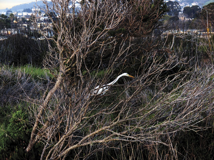
Song sparrows perch on fennel stalks. In the winter, look for yellow-rumped warblers. Northern harriers, white-tailed kites, and red-tailed hawks may be overhead. In standing water there might be ducks, greater yellowlegs, great blue herons, and great egrets. Small, round burrowing owls, mostly female, have been seen in the meadow, using ground squirrel holes for their homes. There’s even been a bobcat sighting in the area.
Farther north is a long landfill peninsula that juts out into the Bay. This peninsula, once open water, was created when asphalt, concrete, rebar, tile, brick, and household waste was dumped here between the 1960s and 1987. Now part of the park, the “neck” is being restored by the park district. It leads you toward the Albany Bulb, owned by the City of Albany and not yet managed as part of the park, and formerly home to a flourishing outlaw culture of artists and homeless people.
Visible in the water are crescent-shaped oyster-shell reefs and tide pools favored by nudibranchs, sea squirts, and other aquatic invertebrates. When the tide rolls in, the peninsula offers a great view of sea ducks like surf scoters and bufflehead, diving ducks like scaup and wigeons, and dabbling ducks like mallards and gadwalls. Cormorants perch on rocks, spreading their wings to dry.
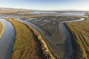
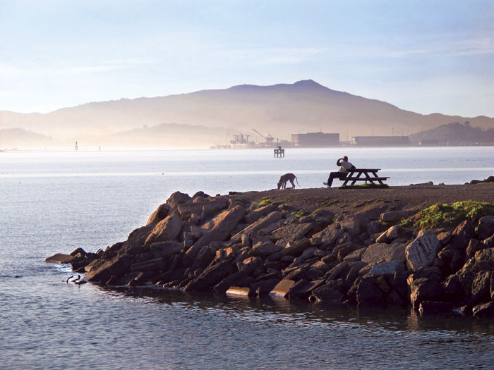
The park concludes at Richmond’s Point Isabel (which USA Today dubbed one of the “10 Best Amazing Dog Parks”), a 23-acre off-leash canine mecca with paved trails and sweeping views of Mount Tamalpais and the Golden Gate Bridge. Nearby is 40-acre Hoffman Marsh, an intertidal salt marsh that is a remnant of the vast marshes and tidal flats that once ringed the Bay. The delta for the mouth of a creek that drains portions of Richmond and El Cerrito contains a complex channel system and upland vegetation where birds can roost, forage, and nest during high tide in a habitat now rare in the East Bay.
Someday, this kind of ribbon could be copied elsewhere along the Bay, creating a park that protects us from a threat early activists never imagined: climate change. “Buffer zones” of wetlands could defend against a rising sea level and storm surges. Setback lines for coastal development could prevent deaths and destruction of homes.
Then the shoreline we saved may end up saving us.

